- Home
- About Us
- Students
- Academics
-
Faculty
- Electrical Engineering
- Automation
- Computer Science & Engineering
- Electronic Engineering
- Instrument Science and Engineering
- Micro-Nano Electronics
- School of Software
- Academy of Information Technology and Electrical Engineering
- School of Cyber Security
- Electrical and Electronic Experimental Teaching Center
- Center for Advanced Electronic Materials and Devices
- Cooperative Medianet Innovation Center
- Alumni
-
Positions
-
Forum
Students
News
- ·SEIEE Held “SJTU Future Information Technology International Forum for Young Scholars (2nd SIFYS-2017)”
- ·The 12th SJTU-TUB Joint Forum was Held in SEIEE
- ·The ‘Hit Up’ International Football Friendly Match
- ·Ice Breaking of Buddy Program
- ·SEIEE holds celebration party for students participating in UW-SJTU Summer Intensive Program
【一带一路】“The Belt and Road” Satellite Navigation and Remote Sensing Master Program
Belt and Road Satelitte Navigation and Remote Sensing Master Program is special two year master program.
To introduce it simple:
1. Length:Two year master program
2. Module: one year course+half/one year internship+half year final thesis
3. Major: Electronic and Communication Engineering
4. Traning Plan: please check here:
http://www.clny114.com/english/info/12252.htm
5. Supervisors: please check here:
http://www.clny114.com/english/info/12274.htm
6. Tuition: 80000rmb for whole program
7. Scholarship: please check here:
http://www.clny114.com/english/info/8075.htm
8. How to apply?
The whole application procedure is the same as normal program, only remember to choose the right major and select the right supervisor.
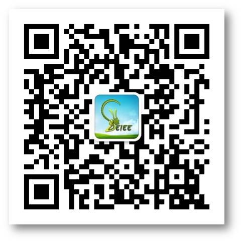
Please follow our WeChat Subscription by searching: studyinshanghai,
or by scanning the QR code if you want most updated information.
-
Students
-
Faculty/Staff
-
Alumni
-
Vistors
-
Quick Links
